
Butte County ZIP Code Coverage
Butte County spans Sacramento Valley farms, foothill roads, ridge communities, and incorporated cities. Postal names follow delivery practice, so a ZIP can cross a city line or serve rural routes that have no incorporated government. The list below is the researched working coverage for a ZIP code directory. It is not a stable USPS polygon table. Verify every address with USPS before using a ZIP as a search slice.
Working coverage list. The post-office column records the postal identity found in the research. USPS does not publish a stable public county-to-ZIP boundary and station table for this purpose.
| ZIP | Areas Covered | Post Office | Notes |
|---|---|---|---|
| 95914 | Bangor | Bangor | Rural south county |
| 95916 | Berry Creek | Berry Creek | Foothill community |
| 95917 | Biggs | Biggs | Incorporated Biggs and rural routes |
| 95926 | Chico | Chico | One of several Chico delivery zones |
| 95928 | Chico | Chico | Multiple delivery zones cross simple city assumptions |
| 95929 | Chico, including CSU Chico association | Chico | University identity does not define a city boundary |
| 95973 | Chico | Chico | Another Chico delivery zone |
| 95927 | Chico PO boxes | Chico | PO-box ZIP, not a neighborhood polygon |
| 95976 | Chico PO boxes | Chico | PO-box ZIP, not a neighborhood polygon |
| 95930 | Clipper Mills | Clipper Mills | Eastern rural and mountain area |
| 95938 | Durham | Durham | Unincorporated Durham |
| 95940 | Feather Falls | Feather Falls | Mountain community |
| 95941 | Forbestown | Forbestown | Mountain community |
| 95942 | Forest Ranch | Forest Ranch | Foothill community |
| 95948 | Gridley | Gridley | Incorporated Gridley and rural routes |
| 95954 | Magalia | Magalia | Ridge community north of Paradise |
| 95958 | Nelson | Nelson | Rural agricultural area |
| 95965 | Oroville | Oroville | County seat and surrounding unincorporated communities |
| 95966 | Oroville | Oroville | City boundary is not the ZIP boundary |
| 95967 | Paradise | Paradise | Ridge delivery; confirm parcel continuity |
| 95969 | Paradise | Paradise | Ridge delivery; confirm parcel continuity |
| 95968 | Palermo | Palermo | Unincorporated Palermo |
| 95974 | Richvale | Richvale | Agricultural community |
| 95978 | Stirling City | Stirling City | Ridge and mountain community |
The entries are useful for orientation, not for assigning a parcel or person to a city. ZIP names, mailing cities, and county jurisdiction must be checked as separate facts.
Note: A working ZIP list can narrow a search, but only a verified address can establish which delivery area applies.
Verify a Butte County ZIP Address
The first step in a ZIP code directory search is an address-to-ZIP check. Use the USPS ZIP Code Lookup for the complete delivery address. The source inventory also records USPS address-to-ZIP guidance at Find ZIP Codes. Keep the returned ZIP and ZIP+4 with the exact street, city, state, and unit information. A postal result is a delivery answer, not proof of a municipal boundary.
USPS verification matters for rural routes, PO boxes, new or rebuilt addresses, and places where a mailing city differs from the government office that handles land or permits. It also keeps a ZIP search from silently mixing a PO-box-only ZIP with street addresses. The county’s working list cannot resolve those differences for a specific address.
The USPS lookup view is the correct starting point for a current delivery-area answer and is shown below.
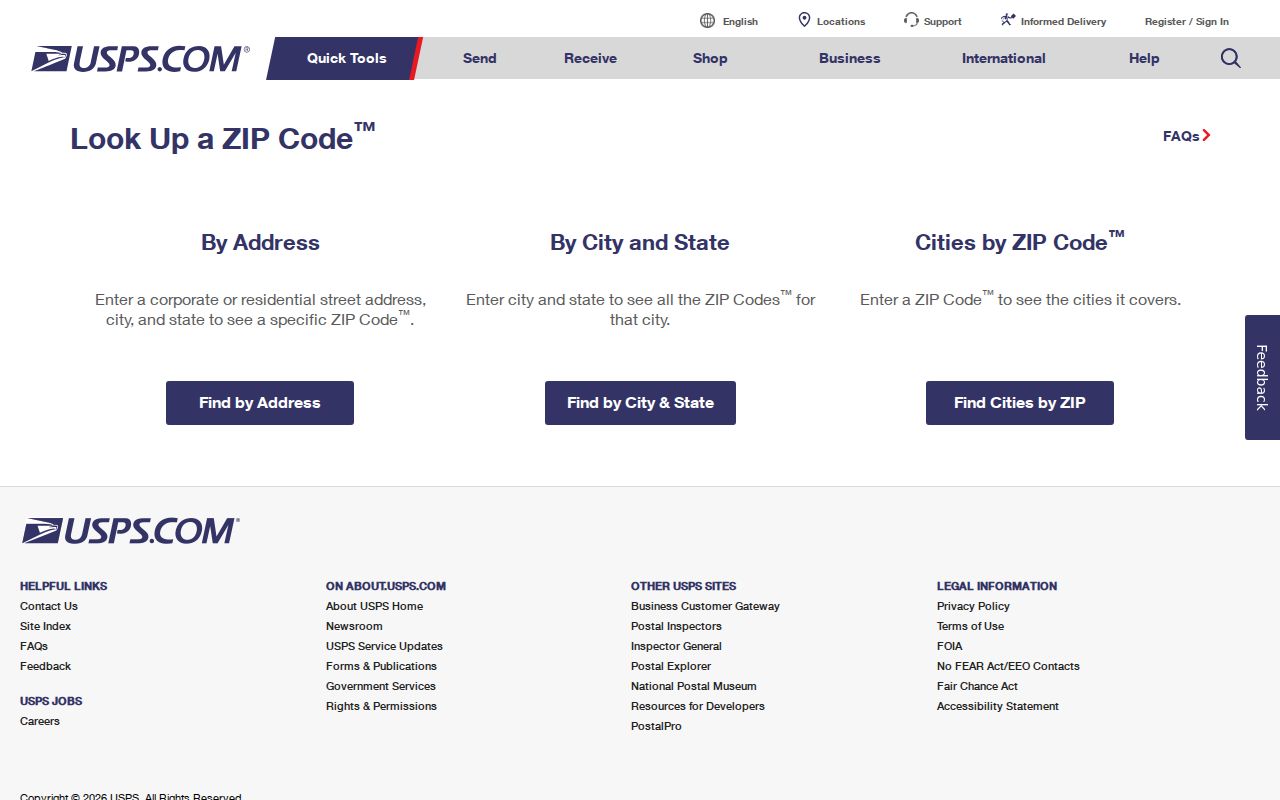
After the postal result is saved, compare the address with county parcel data instead of treating the ZIP result as a resident or ownership record.
- Normalize the street number, street name, unit, city, state, and ZIP as USPS presents them.
- Run the same street address in the Butte County Parcel Search / Assessed Value Lookup, or use an APN when the address does not resolve.
- Open the parcel in the county GIS viewer and note city limits, jurisdiction, parcel shape, and nearby public layers.
- Record the ZIP as postal context only, then send land, permit, deed, or court questions to the custodian that created that record.
Chico ZIP Code Identities
Chico is the clearest local reason to avoid a one-ZIP assumption. The working list includes 95926, 95928, 95929, and 95973 for Chico delivery zones, plus 95927 and 95976 for Chico PO boxes. ZIP 95929 is associated with CSU Chico, but a university association does not turn the ZIP into a government district or establish who lives at an address.
Several ZIP codes also mean that a city-name search can hide the right parcel. A Chico mailing address may sit outside the incorporated city, and a city record may be held by Chico rather than the county only when the address is within the city’s jurisdiction. The county GIS map catalog at Butte County GIS Maps supplies the city-limit and parcel context. Use it alongside USPS, not in place of USPS.
PO-box ZIPs deserve a separate label. They identify a delivery receptacle or postal service point, not a neighborhood polygon. A name tied to a PO-box ZIP should not be assigned a street parcel without an independent address record.
Oroville ZIP Boundary Trap
Oroville uses 95965 and 95966 in the working Butte County list. The county seat and nearby unincorporated communities share the postal identity, while the incorporated city boundary remains a different legal line. A 95965 or 95966 mailing city therefore does not by itself tell a researcher whether a permit belongs to Oroville or Butte County Development Services.
Start with the parcel’s situs and APN. Then check the GIS city-limit and jurisdiction layers before requesting permit, code, or land-use records. The county’s Interactive Maps page describes parcel and Public Works viewers that add city limits, addresses, county roads, recorded maps, flood zones, and other context. If the map places a parcel in a city, use that city’s records channel for city-created files.
That sequence protects a ZIP lookup from turning postal shorthand into a false office assignment. It also helps explain why two records with the same city name may have different custodians.
Paradise ZIP Continuity After Fire
Paradise appears in the working list under 95967 and 95969. The 2018 Camp Fire changed buildings, mailing patterns, and residence paths, but it did not erase county parcel identity. A recent mailing address can differ from the historic parcel, and a rebuilt structure can have a new permit history on an older APN.
For a Paradise or ridge address, save the APN and legal description before comparing old and new ZIP results. Magalia, in 95954, is a separate ridge postal identity in the working list. A post-fire absence from a directory does not prove that a person died or abandoned a parcel. The durable bridge is the parcel, recorded legal description, and custodian-held deed or permit record.
Note: Camp Fire continuity makes APN and legal description stronger historical anchors than a recent mailing city or ZIP code alone.
Rural Butte Parcels Without Situs
Bangor, Berry Creek, Clipper Mills, Durham, Feather Falls, Forbestown, Forest Ranch, Nelson, Palermo, Richvale, and Stirling City show why ZIP geography is not the same as a street directory. Agricultural and mountain parcels may have no usable situs street address. A rural route or PO box can describe delivery while the land record remains keyed to an APN, a map book, or a legal description.
The assessor search accepts either an APN or street address. Its public parcel detail can show APN, property status, situs address, abbreviated legal description, land value, improvement value, exemption amount, and total assessed value. The research does not document a county ZIP-wide resident filter or an unrestricted owner-name search. When a street lookup fails, ask the owner or custodian for the APN rather than inventing a street location.
County GIS can add parcel shape, parent parcel, land-use, zoning, flood, and supervisor-district context. Those layers help locate the record’s jurisdiction, but parcel polygons are assessor-map representations, not survey-grade boundaries.
Translate ZIP to Butte County APN
An APN is the bridge from postal geography to land records. Butte’s Book-Page-Parcel logic means APN 036-011-015 corresponds to map Book 36, Page 01, Parcel 15. The recorder mainly indexes parties and recorded references, the assessor keys on APN and situs, and USPS keys on standardized delivery address. Each system answers a different question.
The assessor search fields documented in the research are simple, but their limits matter.
| Field label | Type | Required | Format or role |
|---|---|---|---|
| Assessor Parcel Number | Text | Alternative | Book-Page-Parcel components; example 036-011-015 |
| Street Address | Text | Alternative | Vacant parcels may lack an address |
| Search | Button | None | Submits the address or APN lookup |
Legal descriptions can instead use lot and block, subdivision, or metes and bounds. Preserve the description exactly when a ZIP, postal city, or street number has changed. A later deed or recorded map may be needed to connect a parent parcel to a split parcel.
Find Butte Residents by ZIP Code
A ZIP code directory does not become a one-click county resident roll. The documented Butte assessor, GIS, recorder, and My Voter Status tools do not offer a public ZIP-wide resident filter. Build a verified-address slice, then choose the record type that can answer the question. A voter-file extract is a separate state application, not an ordinary search box.
- Verify each delivery address and ZIP with USPS, including unit or PO-box details.
- Match each address to an APN or parcel detail through the county assessor when land evidence is relevant.
- Use county GIS to sort parcels by jurisdiction, city limits, and land-use context; do not treat a map layer as a postal polygon.
- For an approved election, scholarly, journalistic, political, governmental, or record-review purpose, follow the California voter-file application rules under Elections Code section 2194.
- If a public record is not online, make a narrow request through Butte County’s public-record request portal with the ZIP, address, record type, and date range.
Once a verified ZIP slice narrows to named streets, the Butte County street directory provides the address-keyed chain without pretending that ZIP lines are parcel lines.
Butte ZIP Codes and City Limits
Postal, parcel, and government geography should be recorded as three separate fields. Butte County is not one postal city. A mailing city may span incorporated and unincorporated land; a ZIP may serve rural routes; a parcel’s legal description may outlast a street name, a city annexation, or a Camp Fire rebuild. The right lookup depends on which of those facts is needed.
- ZIP code
- A USPS delivery area used to route mail. It is not a county district or a guarantee of city jurisdiction.
- ZIP+4
- The extra four digits refine delivery within a ZIP and do not create a parcel or resident boundary.
- PO-box ZIP
- A postal identity built around post-office boxes or a service point, not a neighborhood polygon.
- Unique ZIP
- A ZIP assigned to one major institution or special delivery use. No unique ZIP is identified in the working Butte list.
- Carrier route
- A delivery route inside postal operations. It is not a county GIS parcel layer.
Use the right custodian. USPS verifies delivery. The county assessor and GIS locate land. A city or county department holds permits by jurisdiction, and a recorder holds the deed index. No one of them supplies a complete ZIP-wide resident directory.
For a final identity or land claim, keep the USPS result, APN, jurisdiction, and record number together, then verify the underlying record with its custodian.