
Butte County Previous Residents Sources
One address can have several record eras. The current assessor parcel gives a starting point, the recorder supplies a party-indexed deed trail, and historical collections add occupants who may never have owned the land. The table separates the years, holder, and evidence so a gap is not mistaken for a missing household.
| Source | Years It Covers | Where Held | What It Shows |
|---|---|---|---|
| Recorder web index | Exact online start not stated officially | Clerk-Recorder Self-Service Web | Party, document, date, and recording reference |
| Earlier deeds and maps | County formation era forward; series gaps need verification | Recorder and Archives | Grantor-grantee chain, legal description, parcel changes |
| Building permits | Generally 1962 forward for unincorporated county files | Development Services or city custodian | Construction, alteration, applicant, and document clues |
| Historical city directories | 1881, 1898, 1904-05, 1907, 1909-16 with gaps, selected Polk years through 1950 | CSU Chico and Butte County Library partnership | Occupant, address, occupation, spouse, and householder marks |
| Federal census | 1850 through 1950 presently public | NARA, FamilySearch, and library services | Household at an enumeration place |
| 1852 California census | 1852 | State Archives original and State Library microfilm | Early Gold Rush-era Butte residents |
| Sanborn fire-insurance maps | Community and title-specific years | Library of Congress and library databases | Footprint, use, materials, and street number |
| Obituaries and probate | Event-specific | Butte County Library and Superior Court | Death, relatives, petitioner, heirs, and former places |
Use the table as a source order. A deed can establish a transfer. A directory can show an occupant or household member. A census can place a family at an enumeration point. A Sanborn sheet can show whether a structure existed. Previous residents become more credible when two kinds of evidence agree.
Start With a Butte County APN
Begin with the current parcel, even when the goal is a nineteenth-century household. The Butte County Parcel Search / Assessed Value Lookup accepts an APN or street address. Its stated public detail includes APN, property status, situs address, abbreviated legal description, land value, improvement value, exemption amount, and total assessed value. APN 036-011-015 illustrates the county’s Book-Page-Parcel logic: Book 36, Page 01, Parcel 15.
Situs means the physical parcel location. It is not the owner’s mailing address and does not prove that an owner lived there. Save the APN, situs spelling, legal shorthand, and any parent-parcel clue. The public assessor description does not promise an unrestricted owner-name or mailing-address display, so ownership confirmation belongs in the recorded deed or a lawful roll request.
County GIS adds context before the deed search begins. The Butte County Interactive Maps and the parcel GIS viewer can locate parcels, addresses, city limits, recorded maps, jurisdiction, zoning, flood areas, land-use layers, and supervisor districts. Parcel polygons are assessor-map representations, not survey-grade boundaries.
Note: Preserve the APN and legal description before changing a historic street name into a modern address search.
Trace Butte County Deeds Backward
The backward chain starts with the current recorded acquisition instrument. The Butte County Clerk-Recorder Self-Service Web index requires acceptance of a disclaimer and describes its index as a library card catalog, not the underlying document. Search party names, recording date ranges, document number, document type, book and page where shown, and legal or APN references. Try spelling variants, punctuation, middle initials, trust names, and entity suffixes.
Use this sequence for a deed trail.
- Find the current instrument and write down the grantee, grantor, recording date, document number, and complete legal description.
- Search the grantor as an earlier grantee, limiting the date range and matching the same legal description or predecessor APN.
- Repeat the match for each transfer. When the APN changes, find the recorded map or parent parcel that explains the split.
- Order the image or certified copy when the index lead matters. Compare the instrument with the assessor map, not only with the street label.
The recorder’s office is at 155 Nelson Avenue in Oroville, phone 530-552-3400. Posted counter hours are Monday through Friday, 8:30 a.m. to 5 p.m., with a noon to 1 p.m. closure; recording ends at 4 p.m. Online copy ordering uses the party name and Document ID. The research reports $5 for the first regular-copy page plus $2.50 per added page, $10 for the first certified page plus $2.50 per added page, and $12 for digital format. Counter copy and certification fees are listed separately by the county.
- Grantor
- The person or entity conveying an interest in the recorded instrument.
- Grantee
- The person or entity receiving that interest.
- Chain of title
- The linked sequence of transfers that connects a present interest to prior instruments.
- Legal description
- The land description used in the instrument, such as a lot and block, subdivision, or metes-and-bounds description.
Butte County Parcel Splits and Maps
Recorded maps are the answer when a house sits on land that no longer has the same APN. A subdivision, lot split, annexation, rural route change, or readdressing can make a direct street search look empty even though the legal land trail is continuous. Match the parent APN, map book and page, lot or block, and legal description before moving to an older deed.
GIS can show a parent parcel, alternate ID, parcel map, Book-Page-Parcel fields, update date, acreage, land use, tax code, and coordinates. It can also display city limits and jurisdiction. Those details guide the archival search, but the recorded map or deed controls the legal history. The county map catalog lists the available viewers and layer descriptions.
For a historic house, write down both the old and present address forms. A directory entry may use a street number that was later renumbered. A map may use a lot and block while the assessor uses an APN. These are translation steps, not separate properties, until a recorded instrument proves otherwise.
The Butte County Permit Gap
Unincorporated Butte County building documents generally do not exist before 1962. The county’s address and APN permit instructions point researchers to eTRAKiT or Development Services for later records, while older buildings require a different evidence set. A missing permit result is therefore not proof that a structure never stood on the parcel.
The county permit-search instructions describe a search by Address or Parcel Number. For an address, omit words such as street, road, and abbreviations; an APN example is 055-555-055. After selecting a row, “View Public Property Documents” appears at the bottom of Parcel Info. Multiple documents may require scrolling, and older permitted structures can be bundled under an APN document. Development Services is listed at 530-552-3700, with Environmental Health handling water and sewer documents at 530-538-7281.
For pre-1962 work, ask the Assessor for square footage and year-built information, compare Sanborn footprints, and use deeds, directories, and newspaper evidence. City-created permits belong to the city that created them, not automatically to the county.
Read Butte County Reverse Directories
The historical directory shelf is the main occupant layer for previous residents. Butte County Library links a digitized project created with CSU Chico, obituary and newspaper requests, pre-1905 death research, California death records from 1940 through 1997, and related genealogy resources. The authoritative digitized collection is the CSU Chico Historical Butte County City Directory collection.
The first local directory appeared in 1881. The collection includes the 1881 multi-county directory, Chico volumes from 1898 and 1904-05, 1907, the 1909 and 1910 Chico-Oroville directories, and selected R. L. Polk years through 1950. Gaps include much of 1882 to 1904 except separately held volumes, plus 1917, 1919, 1920, and 1925. OCR enables keyword searching but must be checked against the scan.
Alphabetical entries can show surname and given name or initials, spouse, occupation, employer, home address, and widow or householder marks. Reverse or criss-cross pages invert the search by street name and house number. Read the abbreviation key before expanding a mark such as r for resides, h for householder, or wid for widow. A directory entry can identify an occupant without proving ownership.
Butte County Census and Sanborn Clues
The 1852 California census is a strong early source for Butte County. California was one of the original counties in 1850, and the county seat moved from Hamilton to Bidwell Bar before settling in Oroville in 1856. The State Archives holds the original 1852 census, while the State Library provides microfilm, a DAR transcription, and an index. The California State Library genealogy collections provide the research route and reading-room context.
Federal census schedules from 1850 through 1950 are presently public. Pair a 1950 directory entry with the 1950 census, then move to available directory years on either side. A census location is an enumeration place, not always a modern street address, so the APN and legal description still matter.
Sanborn maps can test whether the building and street number existed. Butte-specific anchors include Chico Dakin 1885; Chico Sanborn 1886, 1890, 1902, 1909, and 1921; a 1921 Chico base with paste-over revisions dated 1923, 1925, 1927, 1938, 1943, and 1945 through 1949; Biggs 1909; Gridley 1924; and Oroville 1926. The Library of Congress Sanborn collection has the digital map route. No digitized Paradise sheet was located.
The paste-overs are an unusual advantage: one atlas can encode several construction eras. Compare footprint, use, materials, and street number with a directory and deed instead of relying on a modern photograph.
The State Library’s genealogy collections explain the census and historical-record path used for older Butte households and are shown below.
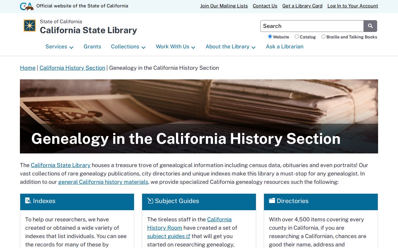
Library and archive access can fill a year that is absent from the digitized directory run, but an absence still needs to be labeled as a gap.
Camp Fire and Butte Parcel Continuity
The 2018 Camp Fire created a records-search discontinuity in Paradise and ridge communities. A person may own a parcel while receiving mail elsewhere. A rebuilt structure may have a recent permit history on an older APN. Directory or telephone evidence may stop abruptly, and a new street or ZIP presentation may not mean that the underlying land changed.
Keep the parent and current APN, recorded maps, legal description, deed dates, and permit references in one timeline. Use a current parcel result to find the legal bridge, then use directories, obituaries, probate, and Sanborns for people and structures. Do not read a mailing-address change as abandonment or a post-2018 directory absence as a death.
Probate petitions and obituary notices can explain why a household disappears from a directory. The Butte County Library can target a newspaper or microfilm request when a full archive is not available remotely. The Butte County Historical Society also holds photographs, vertical files, family and local-history material, and volunteer knowledge; its archive contact page is a useful inquiry route.
Lawful Butte County House History
If an online index stops, make a focused records request to the custodian. Butte County’s public-record request portal is buttecounty.govqa.us. The California Public Records Act, Government Code sections 7920.000 through 7931.000, ordinarily gives an agency ten calendar days for an initial determination, with a possible fourteen-day extension in unusual circumstances. Ask for a defined record type, date span, APN, document number, or series.
House-history boundary. A public deed or directory entry is evidence for lawful historical research, not permission to track, contact, threaten, or harass a living person. Keep names and addresses tied to the record purpose and verify sensitive claims with the custodian.
When the chain is complete, label each fact as owner, occupant, structure, or event evidence. That discipline keeps previous residents distinct from current occupants and turns a set of old names into a defensible Butte County house history.