
Walking a Butte County Street
A useful street directory search is a chain, not a single name query. Begin with the standardized address and keep the original spelling. The assessor turns an address into an APN and situs record. GIS shows the parcel shape, jurisdiction, and nearby parcels. The Clerk-Recorder index changes that parcel clue into a party and document trail. Permit and code records add construction or land-use context, while a reverse directory can supply a historical occupant for a particular house number.
Save every identifier before moving to the next source. A street name can be abbreviated, a rural route can change, and a mailing city can cross a city limit. The APN and legal description are the best bridge between systems, but even they do not establish every person who uses an address.
- Enter the street address in the Butte County Parcel Search and save the APN, situs, status, values, and abbreviated legal description.
- Open the APN or address in county GIS, confirm the parcel shape, and note the city or county jurisdiction.
- Use the legal description and APN with the Clerk-Recorder grantor-grantee index to find deeds and other recorded instruments.
- Check the correct permit, code, and land-use custodian, remembering that city records and county records cover different jurisdictions.
- For older occupants, compare reverse directory pages, alphabetical entries, census material, deeds, and obituary evidence without treating absence as proof.
Butte County Street Records by Address
Several public record sets can be aligned by address, but each exposes a different fact. The property roll is keyed to an APN or situs. GIS is spatial. A deed index is keyed mainly to grantor and grantee names. The voter system is self-authenticated or purpose-limited. Permit and code files belong to the agency that created them. The following coverage map keeps those roles separate.
| Record Set | Keeper | What It Shows | Access |
|---|---|---|---|
| Parcel and assessed-value detail | Butte County Assessor | APN, situs, legal shorthand, values, exemption | Free address or APN search |
| Parcel and planning map | County GIS / Public Works | Boundaries, adjacency, jurisdiction, zoning, flood and planning layers | Free map viewers |
| Recorded deeds and liens | Clerk-Recorder | Named parties, recording references, legal descriptions | Free index, paid copies |
| Voter registration file | California Elections | Self-status or approved-purpose residence fields | Authentication or qualified application |
| Permits and code cases | City or county office | Address-linked public cases, documents, applicants, and work clues | Jurisdiction-specific portal or request |
The parcel number is the main join key. It can carry an address result into GIS, a recorded map, a deed search, or an unincorporated permit file. A shared address alone is weaker because a street can be renamed, a parcel can split, or a post-fire structure can be rebuilt on the same land.
Note: An APN joins parcel systems more reliably than a street spelling, but it still does not prove every current occupant.
Search Butte County Parcels
The Butte County Parcel Search / Assessed Value Lookup offers two alternative entry fields. Use the street address when the location is known, or use the APN when a map, deed, tax paper, or older record supplies it. The public description does not promise unrestricted owner-name or owner-mailing-address browsing.
| Field | Type | Required | Format or result note |
|---|---|---|---|
| Assessor Parcel Number | Text | Alternative | Book-Page-Parcel components, such as 036-011-015 |
| Street Address | Text | Alternative | Use the physical situs when the parcel has one |
| Search | Button | After either field | Returns matching parcel rows |
Visible fields include APN, Property Status, Situs Address, abbreviated Legal Description, Land Value, Improvement Value, Exemption Amount, and Total Assessed Value. The exemption amount can be a clue to review, but it is not proof of current occupancy. Vacant parcels may have no address, and a situs is the physical parcel location rather than an owner's residence.
Assessor maps are tax-purpose representations. Boundary lines, subdivisions, and recorded surveys can change the map, so a legal conclusion belongs to the recorded instrument or a qualified custodian, not to the screen alone.
Butte County GIS Street Browse
The county's Data Search and Public Works map viewers add the spatial step that a text address search cannot provide. Address or APN search can locate the parcel, then Search, Legend, Layer List, Basemap, Identify, Select, Attribute Table, coordinates, scale, and print tools support a street-by-street review. A narrow selection of touching parcels is easier to audit than a broad county query.
Available layers include parcels, addresses, city limits, General Plan, zoning, FEMA flood zones, Chico Greenline, State Responsibility Area, Williamson Act land, supervisor districts, permits, code cases, and land use. The Public Works viewer adds county-maintained roads, benchmarks, bike routes, recorded maps, and flood zones. These layers reveal context and jurisdiction, not an official household roster.
| Control | Type | Use in a street search |
|---|---|---|
| Address or APN | Autocomplete or text | Locate a mapped address or parcel |
| Layer List | Checkboxes | Turn parcels, limits, zoning, flood, permits, code, or land use on |
| Zoom, pan, identify | Map controls | Browse a street segment and inspect a feature at a point |
| Select and Attribute Table | Map and data tools | Review a narrow group of parcels and their published fields |
The published Butte parcel layer exposes fields such as APN, alternate ID, jurisdiction, parent APN, Book/Page/Parcel, situs, acreage, land use, tax code, coordinates, and owner mailing fields. Its maximum query return is 2,000. GIS polygons are not survey-grade boundaries.
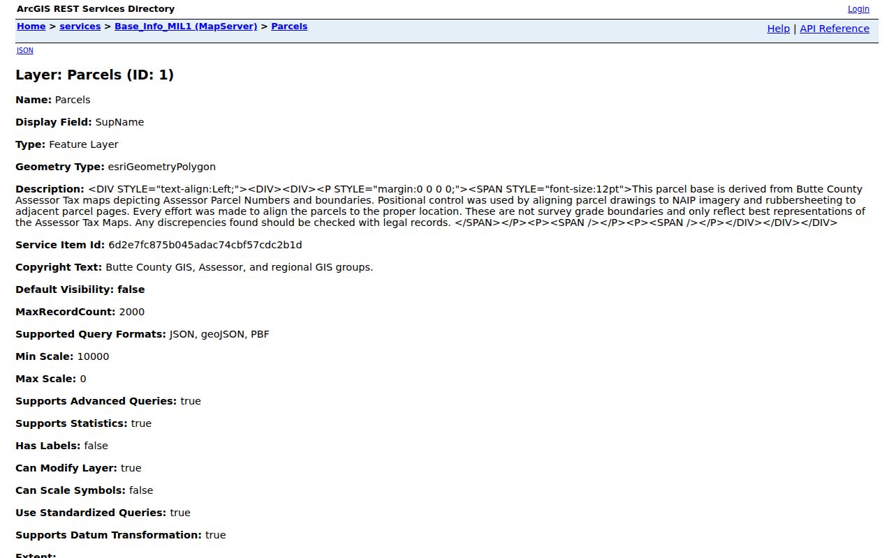
The layer view is most useful when the address, APN, and jurisdiction are recorded together before the next search.
Note: GIS identifies and queries mapped features, but its parcel polygons are not survey-grade boundary evidence.
Adjacent Butte County Parcels Without Guessing
Butte County's public map description documents identify, query, zoom, and pan tools, but it does not document a consumer radius or buffer button. The defensible neighbor method is manual. Locate the subject APN, zoom until parcel edges are visible, click each touching polygon, and write down each adjacent APN. Then run each APN through the Assessor detail rather than inferring a person from the map.
The process can be written as a short flow: address to APN, APN to parcel shape, touching polygon to adjacent APN, adjacent APN to assessor detail, then public deed or permit records where the question calls for them. Do not treat a parcel owner as every occupant, and do not export a broad list when a small set answers the question.
GIS fields can include owner and owner-mailing fields, but their presence does not erase confidentiality rules or make an unverified name an identity match. Protected residents, minors, informal household members, utility customers, and delivery recipients remain outside the official parcel map.
Butte County Deeds and Legal Descriptions
Use the parcel's legal description to search the Clerk-Recorder index by the parties to a recorded instrument. The Recorder's Self-Service Web entrance is free, but its index is like a library card catalog. Search all spelling variations and other criteria, expect a session timeout, and remember that an index result is not the underlying deed. The exact first online year was not stated on the public landing page, so earlier research belongs at the counter, through a focused office request, or in Archives when the series requires it.
The official-record index entrance leads to the party and document search. Images and certified copies require the appropriate payment. The office counter at 155 Nelson Avenue in Oroville is the fallback during a portal failure, and the Recorder can be reached at 530-552-3400. Ask for the document ID, recording reference, and complete legal description when a deed is needed for a property-history question.
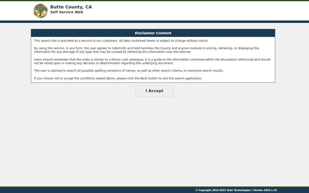
The recorder image makes the key distinction visible: the index points to the record, while the recorded instrument supplies the text needed to compare a parcel, party, map, or transfer.
- Parcel
- A mapped or assessed unit of land identified by an APN.
- Situs address
- The physical location assigned to the parcel, not necessarily a mailing or residence address.
- Plat or recorded map
- A recorded map that can show subdivision, lot, block, or parent-parcel relationships.
- Criss-cross directory
- A historical directory arranged by street and house number rather than only by surname.
Butte County Permit and Code Files
Address history continues through the agency that created the file. County eTRAKiT and Development Services cover unincorporated property, while a Chico address belongs in Chico's permit system and city records. Oroville, Gridley, Biggs, and Paradise likewise maintain their own city files. County GIS warns that users should contact the city jurisdiction for zoning and permit information, so a postal city is not enough to choose the custodian.
The county's permit-document search instructions use a Search By dropdown for Address or Parcel Number. For an address, omit words such as street or road and their abbreviations. The example APN format is 055-555-055. After selecting a result, View Public Property Documents appears at the bottom of Parcel Info; multiple documents may require scrolling. The Butte County Code Enforcement office is the related channel for code complaints, case types, and records requests.
Older structures create a local gap. Unincorporated-county building-permit documents generally do not exist before 1962. For an older property, the county directs a year-built or square-footage question to the Assessor, while deeds, directories, Sanborn maps, and recorded maps supply other evidence. Development Services can confirm availability at 530-552-3700; water and sewer documents go to Environmental Health at 530-538-7281.
Note: The county permit gap before 1962 is limited to unincorporated building documents, not every historical record.
Chico Postal City, County Jurisdiction
Chico is the largest city and a university center, but a Chico mailing line does not by itself prove that the property sits inside Chico. County and municipal boundaries, annexations, rural routes, and post-office conventions can overlap. A permit question belongs to the government that created the record. Use GIS city-limit and jurisdiction layers, then confirm with the city or county office.
The same rule applies across Butte County's five incorporated municipalities: Chico, Oroville, Gridley, Biggs, and Paradise. Durham, Palermo, Magalia, Berry Creek, Feather Falls, Forest Ranch, and Stirling City add community or postal identities without changing the need to identify the record custodian. This distinction keeps a street directory search from sending a county address to the wrong permit desk.
Note: A postal label answers a delivery question; a jurisdiction field answers which government made the permit, map, code case, or administrative record.
Butte APN Book-Page-Parcel Maps
Butte County APNs use a Book-Page-Parcel logic that can bridge an address, parcel map, and deed search. APN 036-011-015 corresponds to map Book 36, Page 01, Parcel 15. The first three APN parts are not a complete legal description, but they give the map and recorder research a shared label. Use the parent APN and recorded map fields when a subdivision or parcel split appears.
Some legal descriptions instead use lot and block, a subdivision name, or metes and bounds. Preserve the wording exactly. A street number can change after an annexation, a rural address update, or Camp Fire rebuilding, while the recorded legal description continues to identify the land. The assessor map is a tax-purpose representation, so compare it with the recorded instrument before making a boundary claim.
Reverse Directories Along Butte Streets
Current address work and historical occupant work meet in a reverse or criss-cross directory. The street and house number lead to an occupant or telephone entry, then the alphabetical section can help resolve a surname variant. Butte's digitized directory collection is partial, not a complete modern street roll. Its known runs include selected years from 1881 through 1950, with specific gaps and no authoritative evidence of a post-1950 printed shelf.
Use the Butte County city directory collections when a street question turns historical. Record the title page, publisher, year, page number, abbreviation key, and the scan itself. A directory entry is an observation made for one publication year. It can suggest an older occupant or address change, but a deed, census, obituary, or permit is needed to test what happened next.
What the Butte County Street Directory Cannot Show
No public street directory in Butte County lists every person who uses an address. The assessor and GIS systems center on parcels. The voter system is authenticated or purpose-limited. Utility customer lists and DMV address data are not public alternatives, and the federal Driver's Privacy Protection Act restricts motor-vehicle information. A parcel owner may receive mail elsewhere, and an exemption or mailing field does not prove a current household.
Lawful use. Address and street records support personal, lawful research such as genealogy, property history, and civic questions. Do not use them to stalk, harass, intimidate, or harm any person.
When a result seems wrong, return to the creating office with the APN, document number, case number, or exact index spelling. A narrow correction request is more reliable than copying a name from an unverified third-party list.