
Butte County Neighbors Source Map
Each source shows a different part of a block. GIS establishes which parcels touch. Assessor detail supplies situs and value fields. Permit and code layers show public case activity tied to the correct jurisdiction. A qualified voter file can contain address fields for an approved purpose, while a reverse directory can show historic occupants. Community groups can provide a public contact path, but no public roster should be assumed.
| Source | What It Shows About a Block | Access |
|---|---|---|
| Butte County parcel GIS | Parcel polygons, APNs, touching land, jurisdiction, and map layers | Free viewer; click parcels one at a time |
| Assessor parcel detail | Situs, legal shorthand, values, exemption, and parcel status | Free APN or address search; not a household roll |
| Permits, code, and land use | Address-linked public cases, documents, and planning context | GIS, eTRAKiT, city channel, or focused request |
| California voter file | Residence and precinct fields for a qualified purpose | Application under Elections Code section 2194 |
| Reverse directory | Historic occupants by street and house number | Butte Library and CSU Chico volumes |
| Neighborhood contacts | Public officers, events, and community connection points | Public contact pages; no member roster assumption |
Owner names do not equal occupants. A parcel may be held by a trust, a second-home owner, or an entity. An owner mailing address can point elsewhere. Utility accounts, delivery records, DMV addresses, minors, informal household members, and protected residents are not ordinary block-map fields.
Note: A Butte County neighbors search should report what a record shows about a parcel, not guess who is inside it.
Click Around a Butte County APN
The defensible block method is a manual ring of touching parcels. The research found no documented consumer radius or buffer tool in the county map. Start with the Butte County parcel GIS viewer, locate the address or APN, zoom until boundaries show, and click each adjacent polygon. Record each APN before opening assessor detail.
The consumer viewer provides Search, Legend, Layer List, Basemap, Print, Draw, My Location, Select or export, Attribute Table, coordinates, scale, overview, home, and fullscreen controls. Its published layers include parcels, city limits, addresses, planning, zoning, FEMA flood areas, State Responsibility Area, Williamson Act land, supervisor districts, permits, code, and land use. These controls support a map-based block check without promising a complete list of people.
Process: address → APN → GIS parcel → touching parcels → assessor detail → jurisdiction and permits.
- Search the street address or APN and save the subject parcel’s APN, situs, and legal shorthand.
- Zoom to the parcel boundary, click each touching polygon, and write down its APN rather than its apparent occupant.
- Run each APN through the assessor detail, then compare city limits and jurisdiction layers.
- Use the correct city or county permit and code channel for the parcel. For the full named-street chain, use the Butte County street directory.
Run Each Butte Parcel Through Assessor
The Butte County Parcel Search / Assessed Value Lookup accepts APN or street address. The public detail can include APN, property status, situs address, abbreviated legal description, land value, improvement value, exemption amount, and total assessed value. APN 036-011-015 uses Book 36, Page 01, Parcel 15, which helps bridge a map result to a recorded reference.
Assessor maps are tax-purpose representations. They help sort a block and identify a parent parcel, but they are not survey-grade boundary evidence. A situs address marks the physical location. It does not prove the owner occupies the parcel, that every nearby person is part of one household, or that the mailing city identifies the correct permit office.
- APN
- Assessor Parcel Number, the county’s parcel key for land research.
- Situs
- The physical location assigned to the parcel, distinct from a mailing address.
- Legal description
- The recorded land description, which may use lot and block, subdivision, or metes and bounds.
- Parcel polygon
- A mapped representation used for public context, not a survey of the boundary.
Butte County Block Permits and Land Use
Permit and code records add a civic layer to a neighbors search. Butte County Data Search and Public Works viewers expose planning, zoning, FEMA flood, State Responsibility Area, Williamson Act, supervisor district, building permit, code-enforcement, and land-use layers. The county Interactive Maps page describes the available map viewers and layer summaries.
Jurisdiction controls the right request path. A Chico address belongs in Chico’s development system when the city created the file. An unincorporated parcel uses county Development Services and eTRAKiT. Oroville, Gridley, Biggs, and Paradise maintain their own city files. The mailing city alone cannot settle that question.
For county permit records, the documented search uses Address or Parcel Number. Address entries work best without words such as street, road, or abbreviations. After a result is selected, public property documents appear in Parcel Info, though multiple documents may require scrolling. Unincorporated building documents generally do not exist before 1962, so an empty older search is not proof that a structure or household was absent. Code complaints and case documents can also be requested through Butte County Code Enforcement.
Butte County Voter File Limits
California My Voter Status is an authenticated self-lookup. It shows a voter’s own registration status, party preference, polling place, vote-by-mail or provisional status, and related election information. An ordinary visitor cannot browse voters by address or build a public neighbor list from the portal.
Election Code section 2194 and 2 CCR sections 19001 through 19012 limit voter-file access to election, scholarly, journalistic, political, governmental, or approved record-review purposes. The statewide file fee is $100. A specific-voter request is $30 per record, capped at $100 for up to ten voters, and requires full name, date of birth, county, and residence address. County-file fees vary.
Qualified data may include name, date of birth, registration date, residence or mailing address, precinct, contact information, party preference, status, participation history, and district data. It excludes driver-license or ID numbers, last four Social Security digits, unique identifiers, and signature images. Participation shows when and how a person voted, never the selection. The state voter-file request page is the access route for an approved purpose, not a public block search.
Chico Neighborhood Contacts
Chico Neighborhood Services and recognized neighborhood groups provide a public way to learn about meetings, events, and civic contacts. Use the Chico Neighborhood Services page for public information and contact paths. A contact page can help identify a group serving a street, but it does not authorize extraction of a private member list.
Butte County has no authoritative countywide HOA or member-directory inventory in the research. Groups may publish officers, meeting dates, or a general email while keeping member names private. Ask a group about an event, a public boundary, or a community resource rather than requesting a roster of households.
Chico Neighborhood Services
Public civic contacts, recognized neighborhood information, and local community resources.
Public Group Contacts
Use published officers or contact pages. Do not infer membership from a street or parcel.
That public-contact layer is different from a parcel lookup. It helps neighbors connect by choice rather than turning a public map into a personal roster.
Paradise Fire Safe Connections
Paradise community organizations and Fire Safe Councils are useful public contact paths for ridge-area civic information. They can help with a meeting, a community project, or a published safety resource. They do not create an authoritative list of all Paradise neighbors, and membership should never be inferred from parcel ownership.
Camp Fire rebuilding makes the distinction more important. A rebuilt structure can have a new permit trail on an older APN, and a household may use a different mailing address while land ownership remains tied to the parcel. Keep the APN, legal description, and jurisdiction with the current address before treating a ridge record as continuous.
Confidentiality can also change what appears in an address search. California Safe at Home provides a substitute address and confidential voter registration for eligible survivors and participants. Deed-related protections under Government Code section 6209.5 and other statutory redaction routes can keep protected details from ordinary display.
Historic Butte Block Directories
Previous neighbors can be reconstructed with reverse or criss-cross directories. The Butte County Library genealogy page links historical Butte city directories digitized with CSU Chico, obituary and newspaper requests, pre-1905 death material, and California death records from 1940 through 1997. The CSU Chico collection includes the 1881 first local directory, 1898, 1904-05, 1907, 1909 and 1910 Chico-Oroville volumes, and selected Polk years through 1950.
Alphabetical pages may give a name, spouse, occupation, address, and householder mark. Reverse pages turn a street and house number into an occupant lead. A 1933 Polk page, for example, uses marks such as h for householder and r for resides, with address grouping visible around 418 Flume. OCR can join words or characters, so read the scan and abbreviation key.
Pair an old directory with a census year, deed, obituary, probate item, or Sanborn footprint. Missing directory years are common. An absent entry is not proof that a home was empty or that a neighbor never lived there.
Butte County Neighbor Privacy
Parcel data can show the geometry and owner-related fields that the county publishes. It cannot enumerate every person who visits, receives mail, or shares a household at the address. Protected residents, minors, informal household members, delivery accounts, utility customers, and DMV address data stay outside the ordinary block map.
California Consumer Privacy Act rights under Civil Code sections 1798.100 and following can govern covered business data, including rights to know, delete, correct, and opt out of sale or sharing, subject to exemptions. A commercial opt-out does not erase a government source record. Voter information remains purpose-limited, and commercial use of voter files is prohibited.
| Source category | Useful for | Limit |
|---|---|---|
| Official parcel, assessor, and permit records | Land, APN, jurisdiction, value, and public case context | Does not prove every occupant or current household |
| Commercial neighbor tools | Possible leads assembled from brokered or public data | May merge names, lag corrections, or omit protected people; verify at the source |
For a public-record question that is not online, the California Public Records Act request route begins with the creating agency and a narrow description. The California Attorney General’s CPRA overview explains the state framework. Butte County also maintains a public request portal at buttecounty.govqa.us. State the APN, address, record type, and date range, and ask for electronic copies when available.
The Attorney General’s public-record guidance gives the legal context for a focused request about a block and is shown below.
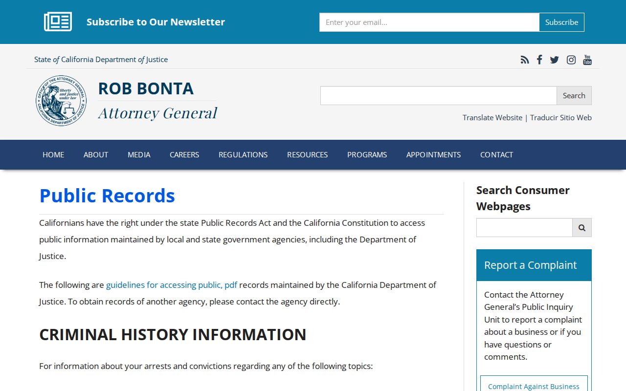
A public-record request can clarify a parcel or case, but it cannot convert a protected or private household into a public roster.
The Safe at Home program shows why some neighbor records are intentionally withheld.
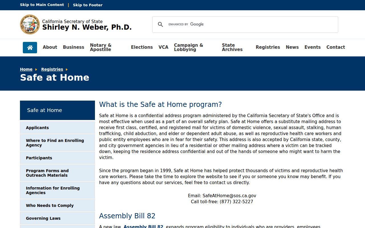
Use public parcel and community information for a lawful purpose, then stop when the source does not authorize a more personal detail.
Lawful use. Butte County neighbor lookups support civic curiosity, local history, voluntary connection, and personal safety awareness. Public availability never authorizes stalking, surveillance, threats, or harassment of a neighbor.